Maptek Sentry

Deployable mobile system for remote, safe surface monitoring


Sentry combines an Maptek laser scanner with sophisticated software to monitor and analyse movement over time. It delivers accurate, reliable risk monitoring tool for mining and civil engineering projects, including road cuttings, land slips, dam walls and tunnel openings.

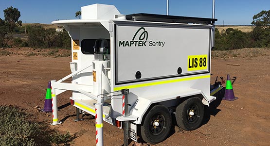
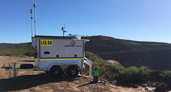
The fully transportable monitoring system is deployed in a custom trailer that is easy to set up and operate, delivering a cost-effective monitoring system designed for use in rugged environments.

Sentry DMS includes:

  • Sentry software
  • Stable bollard for mounting Maptek laser scanner
  • Power and communications module
  • Cellular and wifi networking system

Unpack the system and start monitoring in 15 minutes!

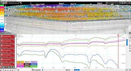
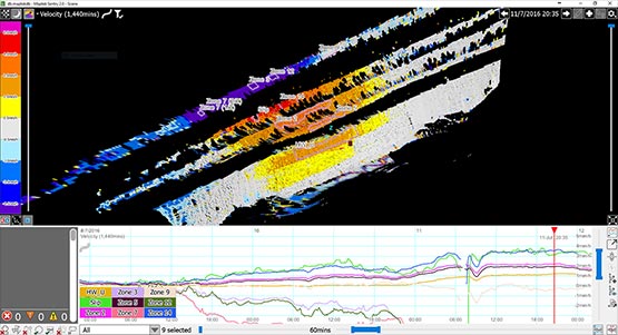
Sentry monitors multiple zones within a scene and can detect movement down to 1mm per hour. Monitoring frequency and notification thresholds are fully customisable, allowing critical information to be sent direct to geotechnical staff or mine managers so they can decide on action to be taken.

Sentry monitors and maps structures and the surrounding area, producing a true digital terrain model. Heatmaps coloured by displacement or velocity provide an overview of surface movement. Time lapse video allows users to see changes and use this information to predict movement in other areas.

Risk management applications

  • Monitor highwalls and benches
  • Analyse failure mechanisms
  • Monitor tailings dams to detect areas of seepage
  • Quantify rock fall volumes and trajectories
  • Conduct deformation analysis and plan mitigation work
  • Apply 3D digital terrain models to failure simulations

The Sentry difference

  • Operates in low light for underground and night time monitoring
  • Simple to set up and operate in remote locations
  • Heatmap and 3D imagery for visualising surface movement
  • View data in real time for predicting potential failures
  • Generate graphs by weather conditions, displacement, velocity, inverse velocity
  • Use laser scan data for survey applications and geotechnical analysis