Maptek to share latest technology at Mining Indaba in Cape Town
Wednesday, February 3rd, 2016
Maptek is excited to share the latest in its whole of mine technical solutions with customers and prospects at this month’s Mining Indaba in Cape Town.

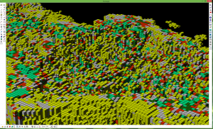
Large block model display in Vulcan 10
There’ll be something for everyone in Vulcan 10 according to Maptek Mining Engineer, Captain Mohlake. Maptek’s flagship geological modelling, design and mine planning system, due on the market early next quarter, Version 10 contains a wide range of new and enhanced applications for modelling and analysing data. Performance upgrades will also allow mining professionals to work more efficiently than before, particularly when working with large datasets.
Captain looks forward to showing the new scheduling tools in Evolution, which was welcomed into the Maptek solutions family about 16 months ago. Evolution’s cut-off grade approach optimises material movement and maximises project value. It can be applied to all scheduling tasks from short term to life of mine planning.

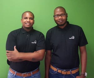
Captain Mohlake and Ayanda Njotini
Just out I-Site Studio 6 includes additional features and tools that will streamline survey data modelling, analysis and reporting tasks. Maptek Surveyor Ayanda Njotini said that surveyors, geologists and engineers can take advantage of new CAD, geotechnical and geology tools, auto-registration and scan alignment, complex surface modelling and waviness analysis.
A standout among the range of laser-based solutions is Maptek Sentry, a new system for tracking and reporting surface movements. Sentry provides a diagnostic tracking tool with clear visualisation and analysis capabilities for supporting reliable engineering decisions in open pits.
I‑Site Drive allows the continuous acquisition of laser scan data with an I-Site laser scanner mounted on a moving vehicle. Mining, quarry and civil operations can efficiently survey stockpiles, highwalls and haul roads, cutting survey time by more than 50%.
Maptek has also upgraded blast modelling and validation tools in BlastLogic since last year’s Indaba.
Ayanda and Captain look forward to meeting with customers to expand on these latest Maptek developments. They will attend technical sessions and network in the Nedbank CIB Networking Lounge from February 8-11.


