Vulcan-ology
One of the great things about Maptek is our involvement with many universities throughout the U.S. and the world. We offer Vulcan licenses and training to many of these universities, and when they take us up on the offer it’s my job to make sure they are happy.
Recently, I had the opportunity to visit Idaho State University in Pocatello to provide Vulcan training to John Welhan, a research geologist, faculty affiliate, and supervisor of the Pocatello branch of the Idaho Geological Survey.

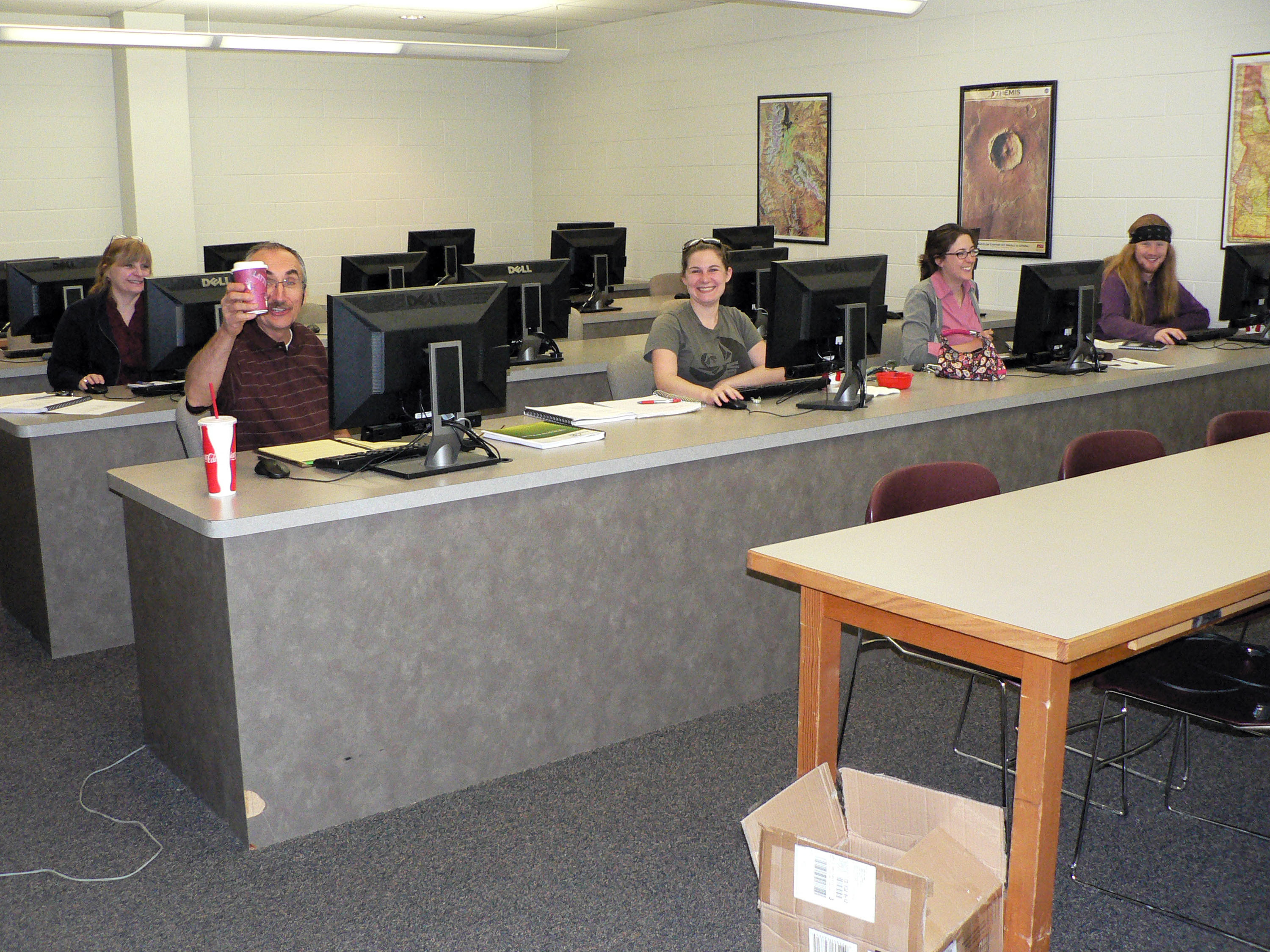
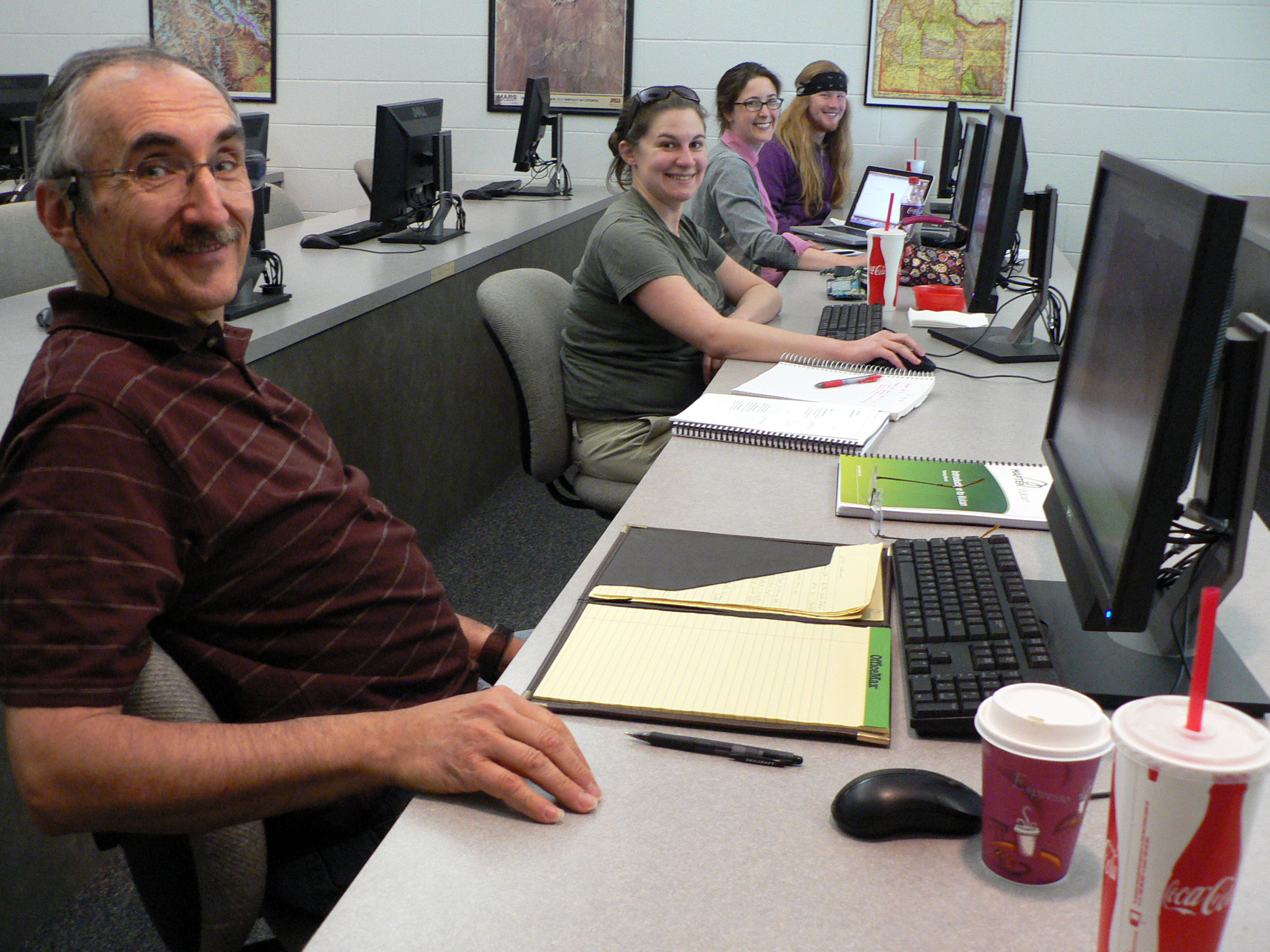
The ISU team enjoying their coffee (& other caffeinated drinks) on the third day of training – immersed in the relatively new Vulcan module ISM (Integrated Stratigraphic Modelling).
As I prepared for the trip, I talked to John about what the group wanted to get out of the course. Thier primary goal was to model stratigraphy, water levels and geothermal resource data. How cool is that?! Immediately I was very excited to break away from mainstream Vulcan use and let my creative side model something that years ago I wondered, ‘Gosh, why hasn’t anyone come up with a really efficient way to model drillers well logs?’

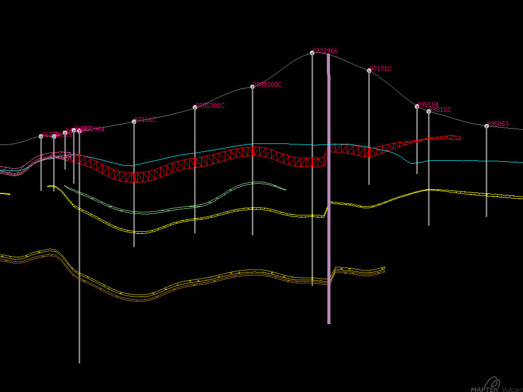
We used ISM to model the horizons of our training dataset and classic Grid Calc to model water levels and topography surfaces.
We spent the first two days of class going through introduction to Vulcan tools – create a layer, draw a line type activity. We also tested the ability of the hydrogeologists and volcanologists to digitize and triangulate gold ore bodies. On our final two days of training I introduced them to the wonderful world of ISM (Integrated Stratigraphic Modelling), and the extremely useful world of Grid Calc and macros! By the end of the last day, we had the stratigraphy and water levels modelled. After mastering surface creation the next question on our minds was, ‘How do we model plumes?’

Can you see the excitement in their eyes… I bet they’re thinking, ‘Now we can model 3D water levels super-easily!’
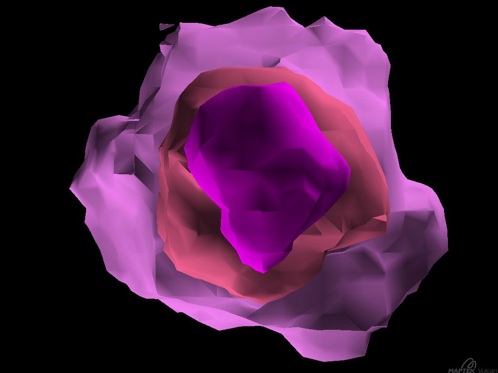
And so they sent me back to Denver with a mission: to find a way to model ash concentrations in active volcanic plumes, and subsurface water temperatures for geothermal resource evaluation. Awesome!
When I returned, I was pleased to discover that several people on the Vulcan Tech Services team were able to model those plumes!

The beginning of a beautiful plume model.


