Maptek Data System
Maptek Compute Framework
Maptek Orchestration Environment
Join our early access program to unlock value for your organisation.
Drill & blast management
Interconnected mine scheduling
Reliable proximity awareness underground
Dynamic survey surface updates
3D mine planning & geological modelling
Streamlined geological modelling workflow
Machine learning assisted domain modelling
Material tracking & reconciliation systems
3D laser scanning & imaging
Point cloud processing & analysis
LiDAR-based stability & convergence monitoring
Derive value from airborne or mobile sensor data
Be it in an underground mine or civil operation, time is of the essence when it comes to completing face mapping.
In typical production environments there is a short window for mapping after blasting occurs and material has been hauled and the rock bolt, meshing and shotcreting equipment comes in. In recent years the implementation of face mapping using laser scanners underground has greatly improved the quality of data compared to traditional methods.
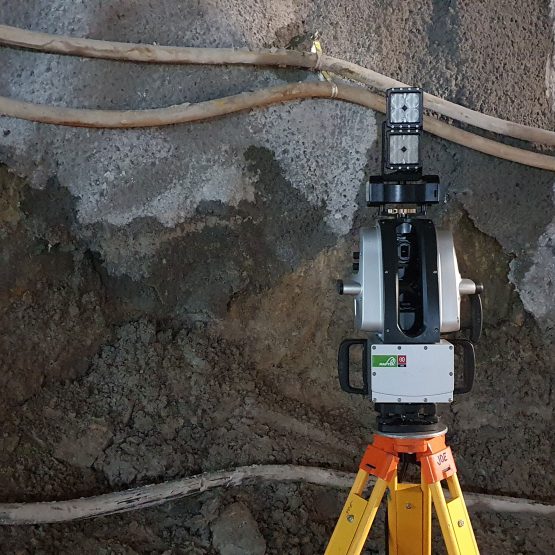
Now an update to the Maptek SR3 MkII underground scanner combined with a new and improved underground light has helped reduce scanning tasks by more than half.
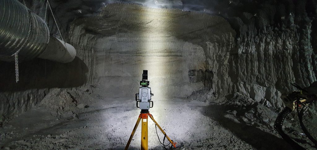
A recent trial at an underground civil site in Australia showed the combination of enhanced light and upgraded firmware allows for improved quality scan outputs faster than ever before.
The improvements to the inbuilt camera, in combination with the light, enable the system to handle greater exposure and improve image quality while reducing time at the development heading.
The new underground light produces light four times brighter in the area of imaging.
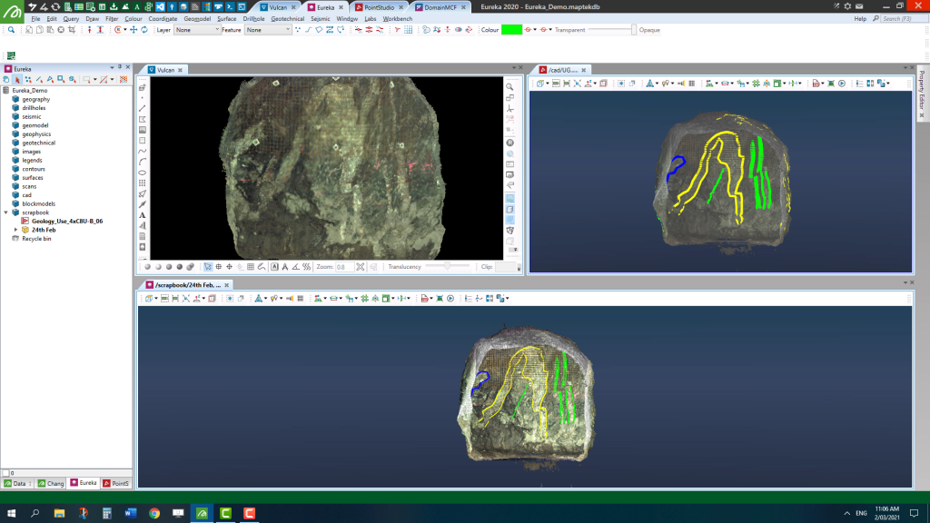
Focused light improves the functionality and quality of the image so you can scan at a lower-resolution setting with better image quality in much shorter time.
This allows operators to get in and out quickly to avoid holding up the production team who run on a strict time schedule.
Another benefit of capturing lower resolution scans is that you save on space on your hard drive, tablet and computer. The smaller, lighter unit makes the entire system easier to carry.
All up, these are considerable improvements that will contribute to a safer, more efficient survey process and add value for users.
I’m looking forward to seeing this latest technology adopted widely to help streamline underground geological and geotechnical mapping.
Lance Steel
Technical Solution Specialist - Mine Planning
March 24, 2022
For additional information about Maptek, including use of the Maptek logo, product images and reproduction of case studies, please direct inquiries to Global Marketing Communications Manager jane.ball@maptek.com.au
ReCAPTCHA has failed to load! Try reloading the page to submit this form. ReCAPTCHA no se ha podido cargar. Intente volver a cargar la página para enviar este formulario. Não foi possível carregar ReCAPTCHA. Tente recarregar a página para enviar este formulário. Не удалось загрузить ReCAPTCHA. Попробуйте перезагрузить страницу, чтобы отправить эту форму.
We use cookies to enhance your browsing experience and analyse our traffic. By clicking "Accept all", you consent to our use of cookies. You can customise your cookie preferences by clicking 'Customise Preferences'.
We use cookies to enhance your browsing experience and analyse our traffic.
Our website may store cookies on your computer in order to improve and customise your future visits to the website. By using cookies, we can track information about your usage of the site and improve your experience with anonymous and aggregated user data.
Review our Privacy PolicyEssential for the website's functionality, without which the site cannot operate smoothly.
Remember user preferences and choices to provide a more personalized experience.
Collect data on how users interact with the website, helping to improve user experience.
Used to deliver targeted advertisements to users based on their browsing behavior and preferences.