Two ways to reduce risk and improve safety in open pit mines
Anglo American CEO Mark Cutifani last week affirmed to shareholders the company is firmly committed to improving safety and productivity within its mines. Indeed, most mining companies will rightly tell you keeping employees out of harm’s way is a top priority. This blog explores two processes open pit mines can perform to reduce risks to staff and equipment at the rock face.
1. Ensure mine construction matches design
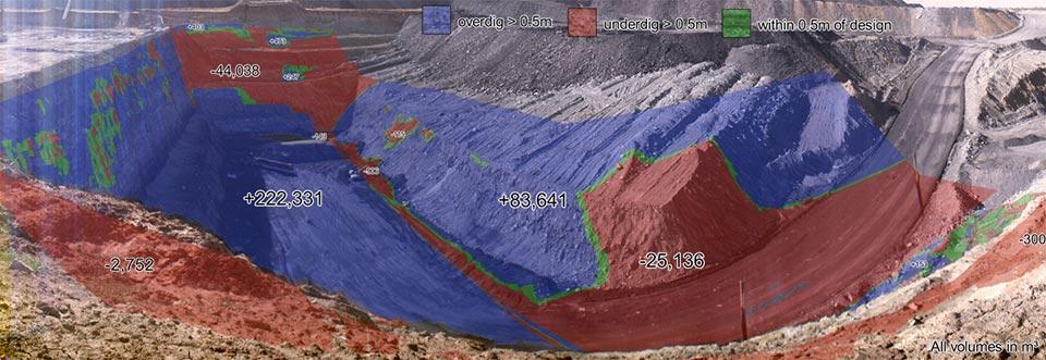
Mine design conformance has become hugely important in recent years and more companies are recognising its significance. In short, it is a process that is used to ensure that mine construction adheres as closely as possible to the safety and productivity parameters within the mine design. Sophisticated software tools, such as I-Site Studio or PerfectDig, use data from 3D laser scanners which enables geotechs and surveyors to measure how closely bench angles and catch-bench capacity conform to those specifications. With regular survey, mistakes can be identified and fixed, sometimes in near real time.

Does your mine match design? In this image, blue = overdig, red = underdig.
2. Monitor areas at risk of ground movement events
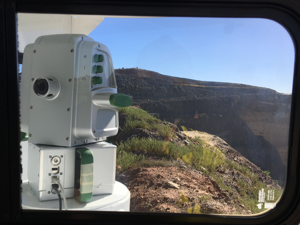
When the operation conforms with design some safety risks may still be present. Various factors may result in areas of the mine being susceptible to ground movement events. In such cases monitoring may be required. Technologies including radar and laser survey are capable of measuring and monitoring such movements, detecting trends and identifying potential failures. Crucially, such solutions provide early warning to operators, giving them the opportunity to move people and machines to safety ahead of potential landslides or rockfalls.

Maptek Sentry – checking for ground movement.
In this video, Maptek Sentry is used to detect ground movement events across multiple zones of an Australian open pit operation.
If you have any questions about the content of this article or would like to learn more about the solutions mentioned contact your local Maptek office.


